Refine your search
Sale Section
Category
Filtered by:
- Category
- List
- Grid
-
11 item(s)/page
A subscription to the Price Guide is required to view results for auctions ten days or older. Click here for more information
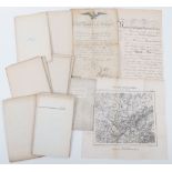

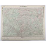
Collection of Maps Relating to the Franco-Prussian War, produced in Germany showing the strategic positions of the German forces during the Franco...
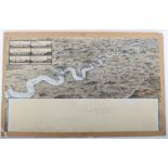
Original Artwork by G.H.Davis Illustrating the Rhine River from Wesel to Coblenz, together with an inset image of six Rhine bridges demonstrating ...
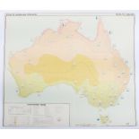
Atlas of Australia
Atlas of Australia, large scale detailed maps showing Mineral resources, Climatic Regions etc 18 sheets,
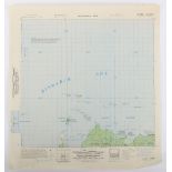
Series of Original Provisional Maps of the Admiralty Islands in the Bismarck Sea, the scene of an American invasion in 1944 against the Japanese. ...
Maps Spain 1:50,000 1929 onwards
Maps Spain 1:50,000 1929 onwards Includes Betanzos and Pedrola c.45 sheets,
Maps,GSGS4567 Sweden 1:300K WW2 Period, 7 sheets, generally good condition
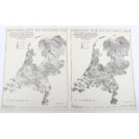
Maps, Rijksdienst Voor Het National Plan (Holland), c 1947, 27 sheets see images,
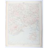
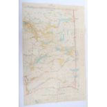
Maps Russia / Central Europe 1:200k post WWI see illustrations 25 Sheets,
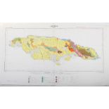
Maps Caribbean various scales
Maps Caribbean various scales, includes Jamaica, Trinidad & Grenada Post WWII. See images 81 sheets, ...[more]
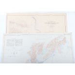
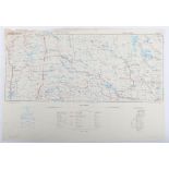
Two Canadian Maps
Two Canadian Maps, one Reconnaissance map of Yukon Tanna Region Alaska Circle Triangle Edition of May 1910 1:250,000 (Alaska sheet 641) & two Cont...
East Lillooet Sheet, Department of Lands, British Columbia, Jan 4th 1926 Large coloured map, scale 2miles to 1 inch. c.40 X c.75cms. Interesting m...
-
11 item(s)/page